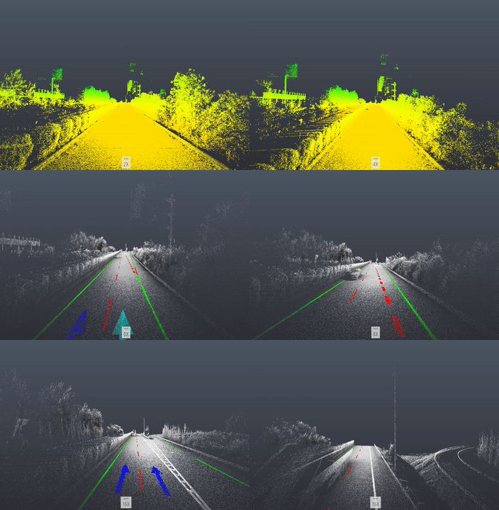
A C++ Program for automatically extraction of road markings from MLS or ALS point cloud
Compile with VS2013 x64 Release or Debug
Dependent 3rd Party Libs: PCL 1.8, OpenCV 2 , LibLas, DXFLib
Application Scenarios: MLS,ALS point cloud , Highway and City roads
Yue Pan, Bisheng Yang, Shengfu Li, Hong Yang, Zhen Dong, Xue Yang, Automatic Road Markings Extraction, Classification and Vectorization from Mobile Laser Scanning Data, ISPRS Geospatial Week 2019 (ISPRS Archives) pdf
1.Import a las file
2.Select datatype, roadtype and related information
3.Input the approximate point density ( number per m^2 )
4.Output all the classified road marking point clouds and the vectorization DXF file.


