Open-source, implicit 3D structural geological modeling in Python.
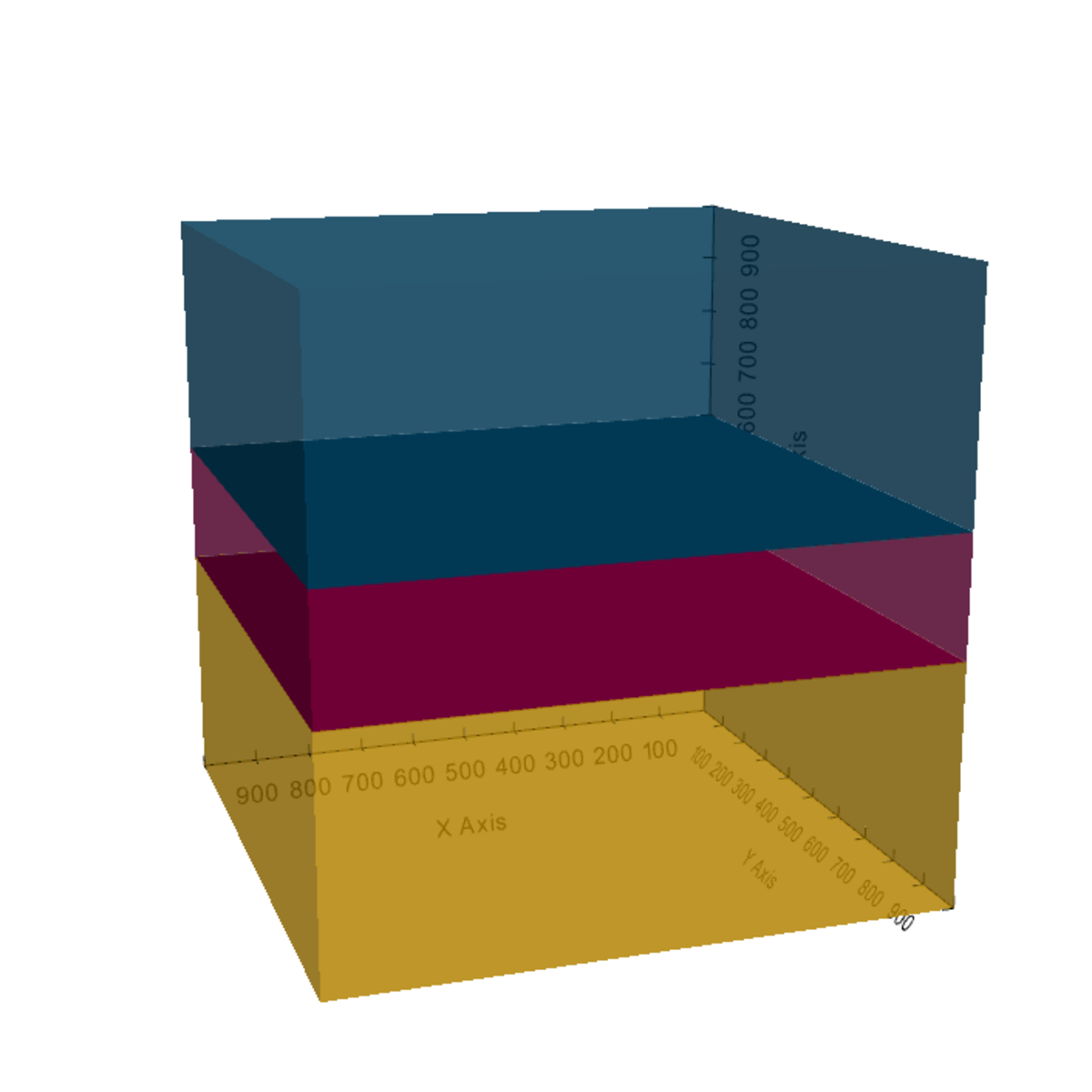
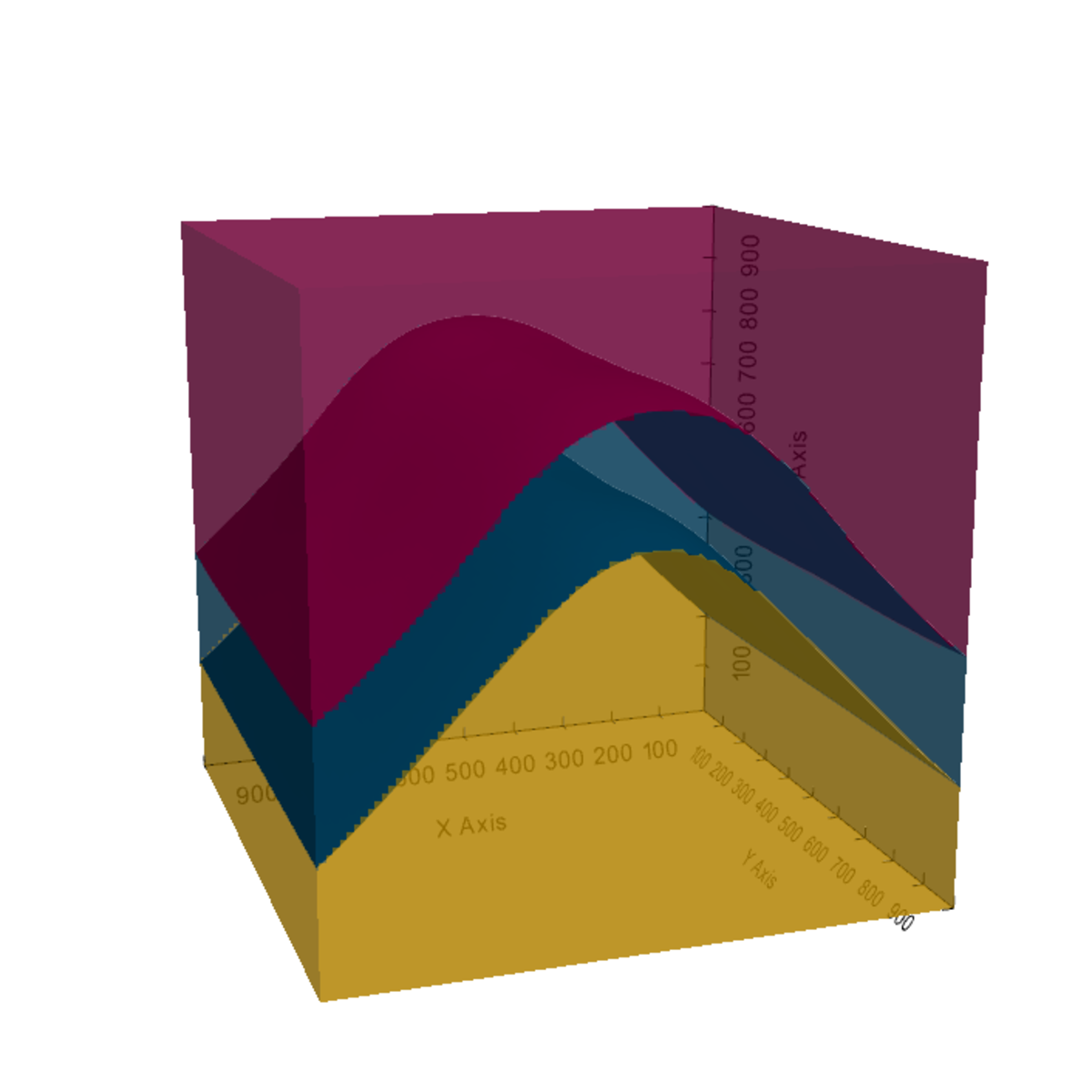
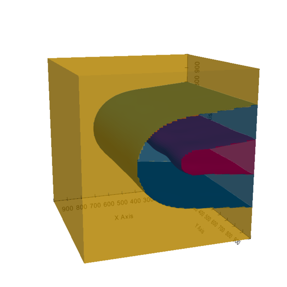
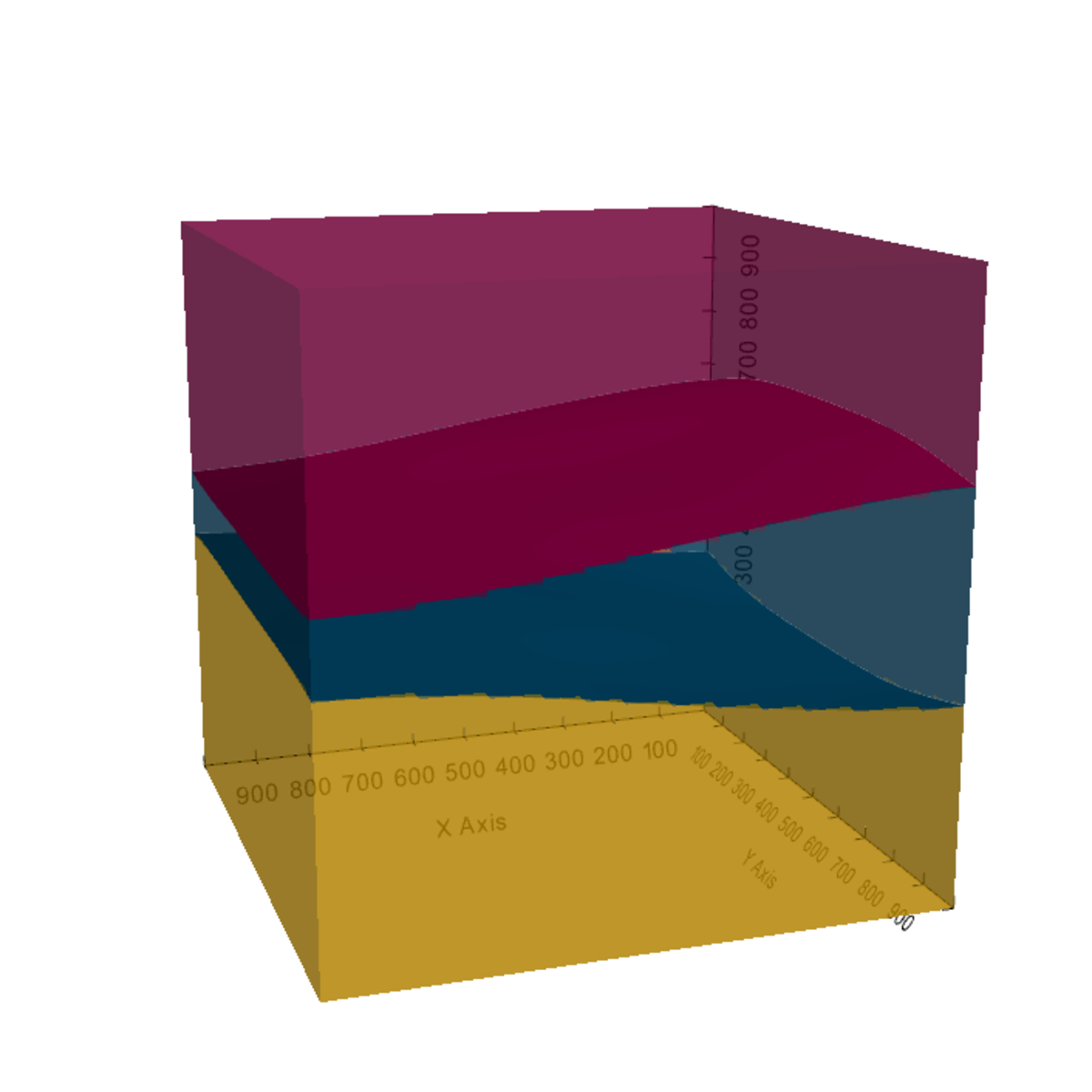
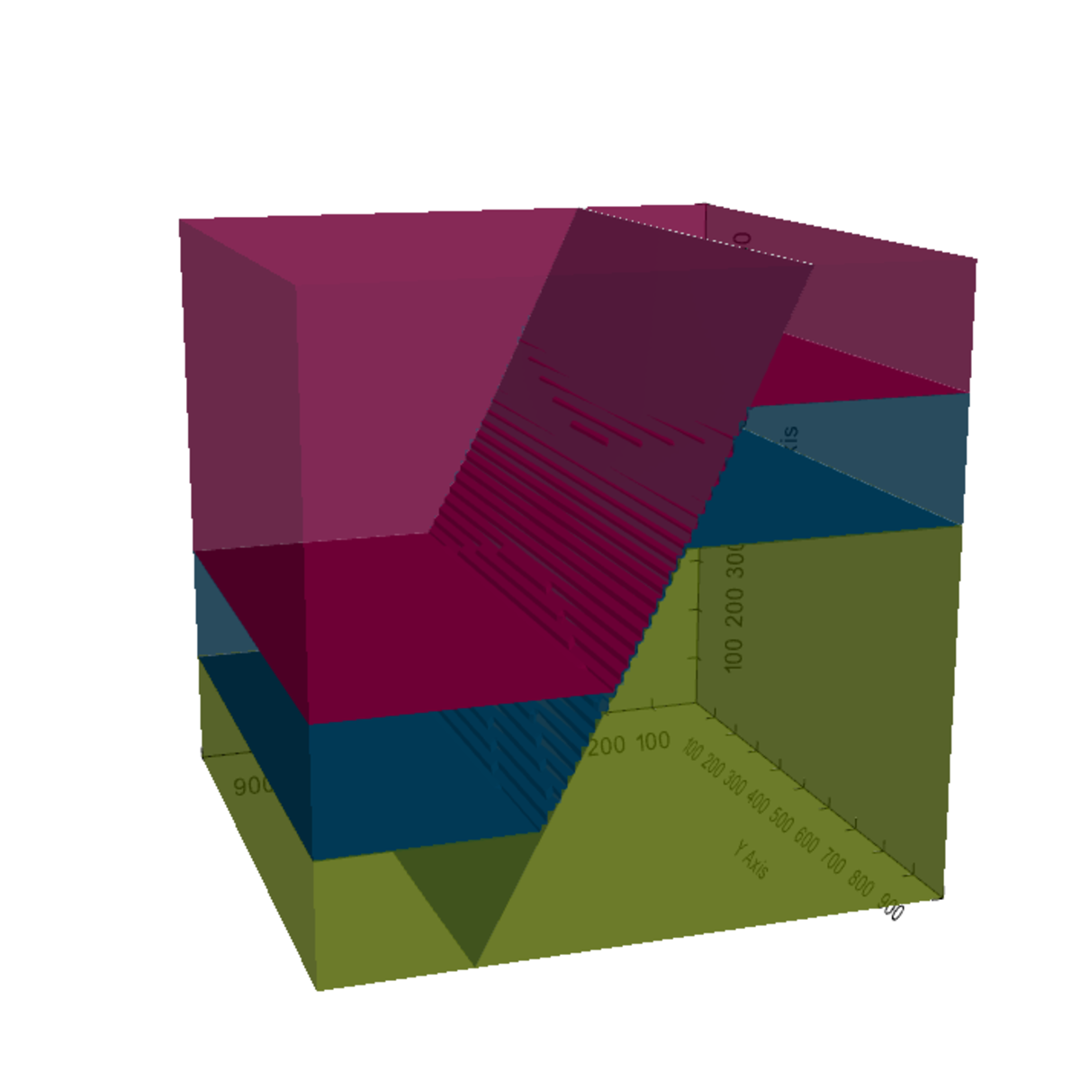
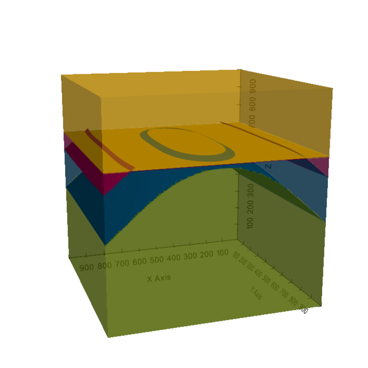
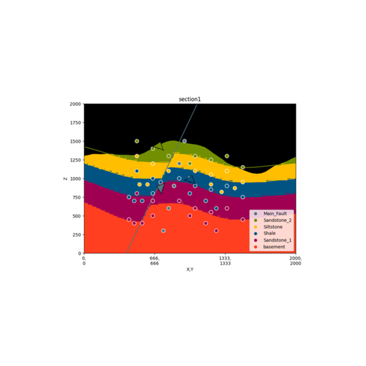
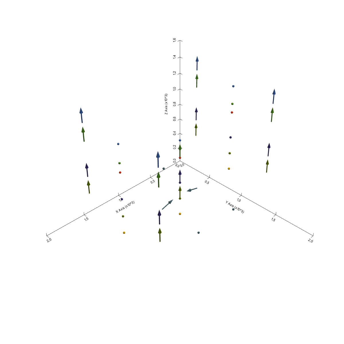
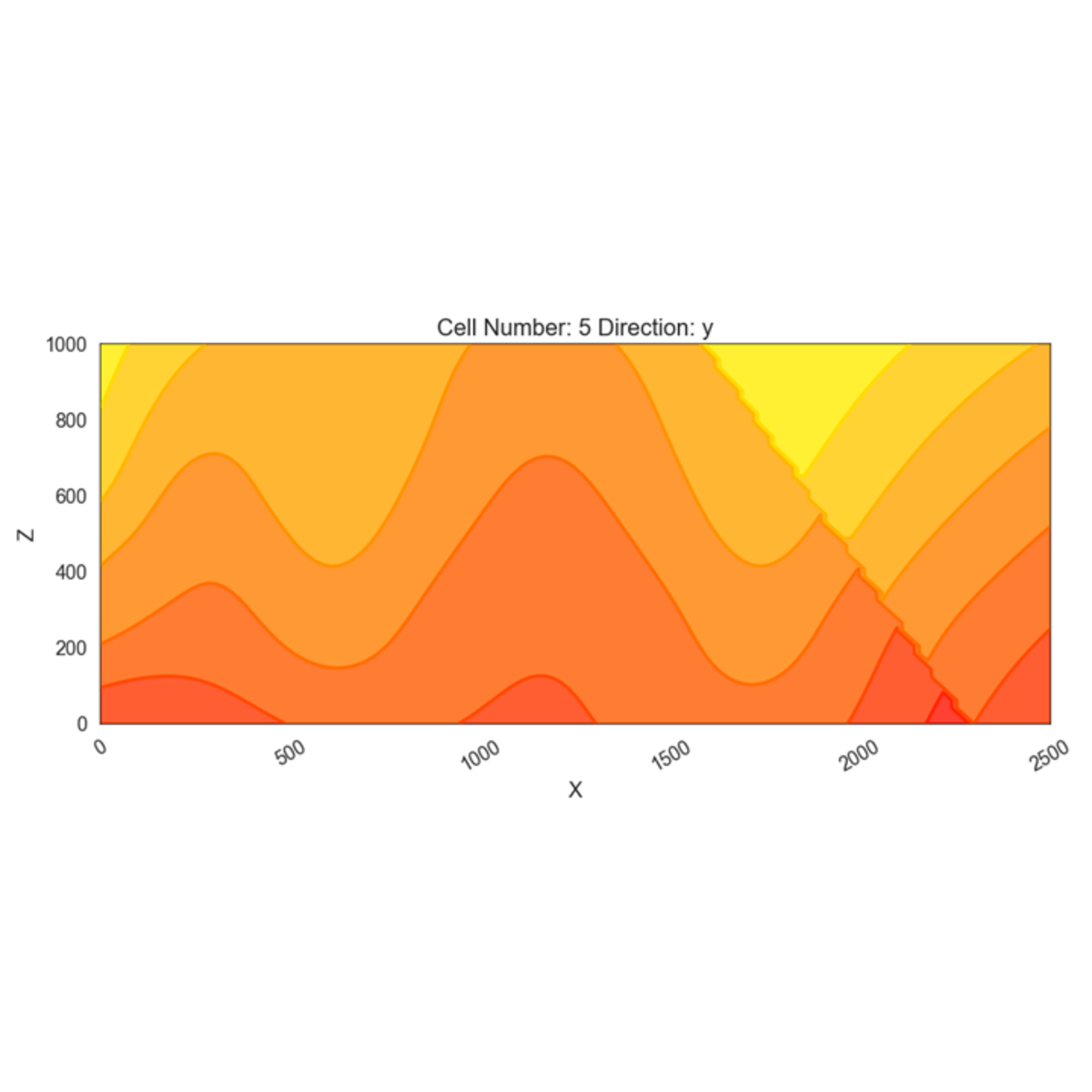
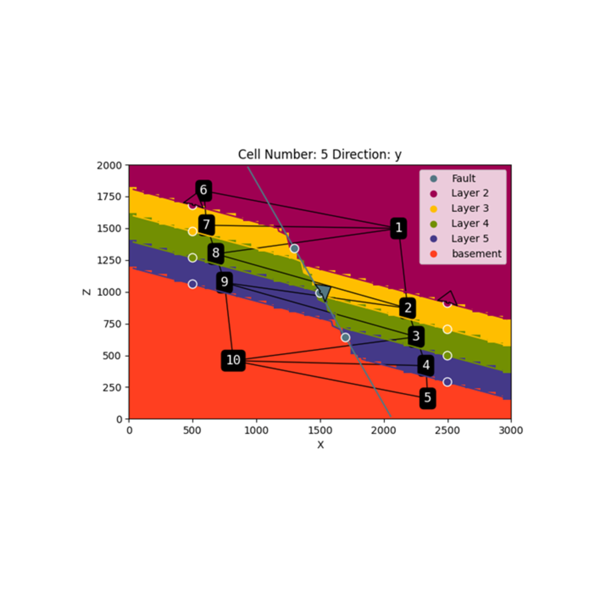
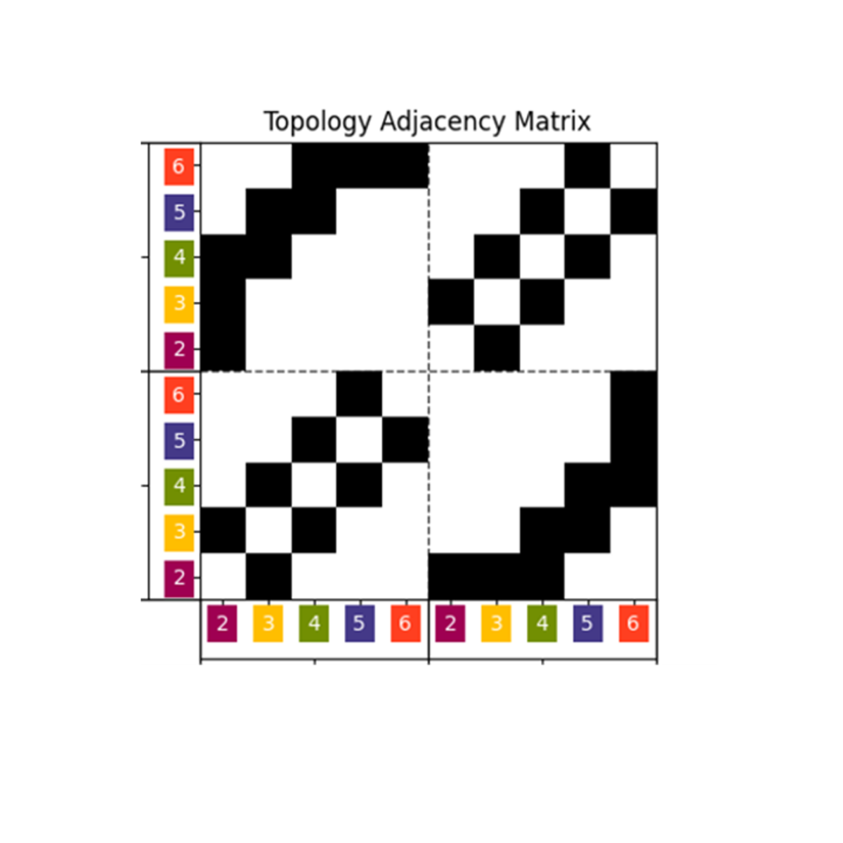
GemPy is a Python-based, open-source geomodeling library. It is capable of constructing complex 3D geological models of folded structures, fault networks and unconformities, based on the underlying powerful implicit representation approach.
We provide the latest release version of GemPy via PyPi package services. We highly recommend using PyPi,
$ pip install gempy
as it will take care of automatically installing all the required dependencies - except in windows that requires one extra step.
Windows does not have a gcc compilers pre-installed. The easiest way to get a theano compatible compiler is by using the theano conda installation. Therefore the process would be the following:
$ conda install theano
$ pip install gempy
For more information, refer to the installation documentation.
After installation you can either check the notebook tutorials or the video introduction to get started.
Got to the documentation site for further information and enjoy the tutorials and examples.
For questions and support, please use discussions.
If you find a bug or have a feature request, create an issue.
Follow these guidelines to contribute to GemPy.
- de la Varga, M., Schaaf, A., and Wellmann, F. (2019). GemPy 1.0: open-source stochastic geological modeling and inversion, Geosci. Model Dev., 12, 1-32.
- Wellmann, F., & Caumon, G. (2018). 3-D Structural geological models: Concepts, methods, and uncertainties. In Advances in Geophysics (Vol. 59, pp. 1-121). Elsevier.
- Calcagno, P., Chilès, J. P., Courrioux, G., & Guillen, A. (2008). Geological modelling from field data and geological knowledge: Part I. Modelling method coupling 3D potential-field interpolation and geological rules. Physics of the Earth and Planetary Interiors, 171(1-4), 147-157.
- Lajaunie, C., Courrioux, G., & Manuel, L. (1997). Foliation fields and 3D cartography in geology: principles of a method based on potential interpolation. Mathematical Geology, 29(4), 571-584.
- Güdük, N., de la Varga, M. Kaukolinna, J. and Wellmann, F. (in review). Model-Based Probabilistic Inversion Using Magnetic Data: A Case Study on the Kevitsa Deposit.
- Schaaf, A., de la Varga, M., Wellmann, F., & Bond, C. E. (2020). Constraining stochastic 3-D structural geological models with topology information using Approximate Bayesian Computation using GemPy 2.1. Geoscientific Model Development Discussions, 1-24.
- Stamm, F. A., de la Varga, M., and Wellmann, F. (2019). Actors, actions, and uncertainties: optimizing decision-making based on 3-D structural geological models, Solid Earth, 10, 2015–2043.
- Wellmann, F., Schaaf, A., de la Varga, M., & von Hagke, C. (2019). From Google Earth to 3D Geology Problem 2: Seeing Below the Surface of the Digital Earth. In Developments in Structural Geology and Tectonics (Vol. 5, pp. 189-204). Elsevier.
|
|
|
|
|
|
|
|
|

|
|
|
|
|
|
