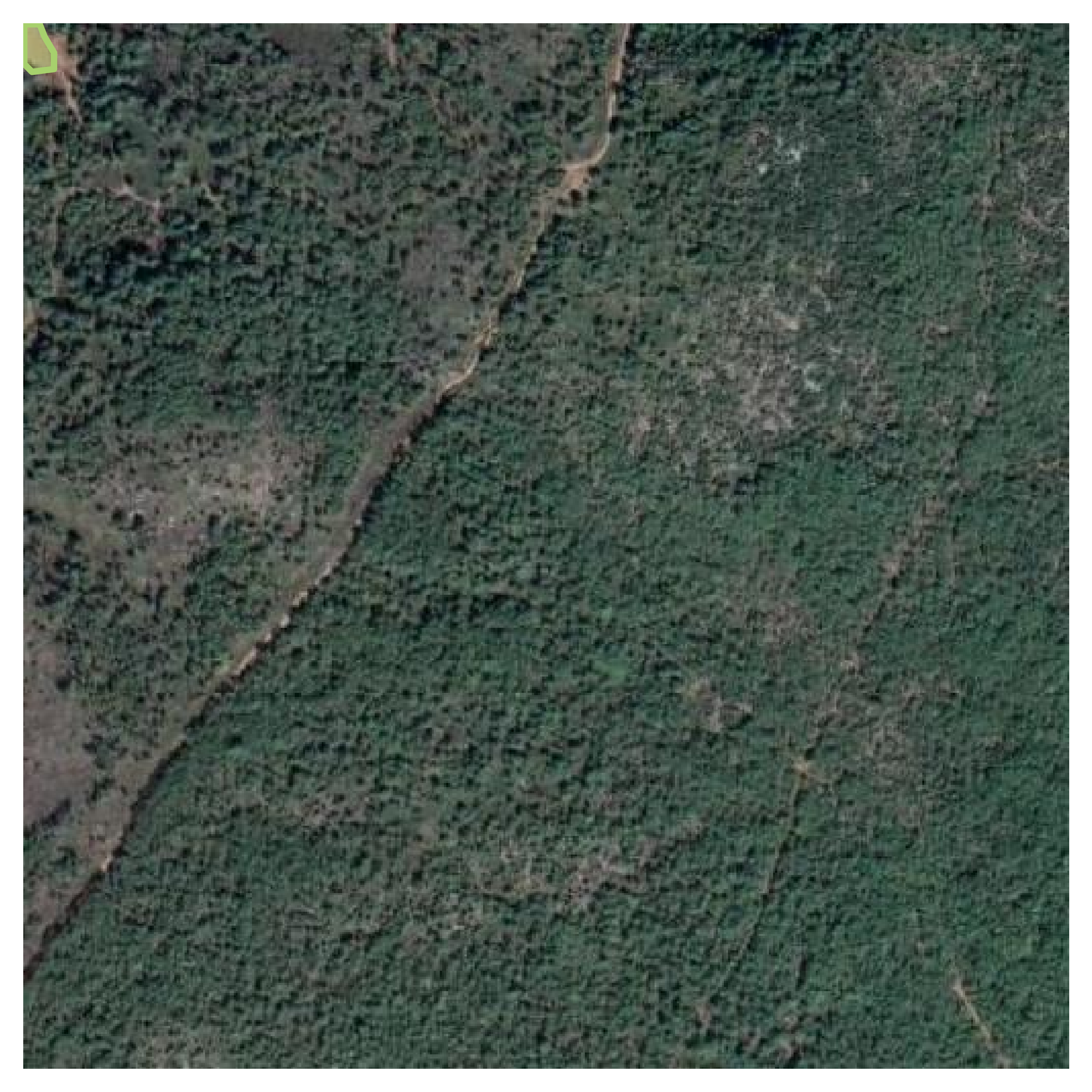
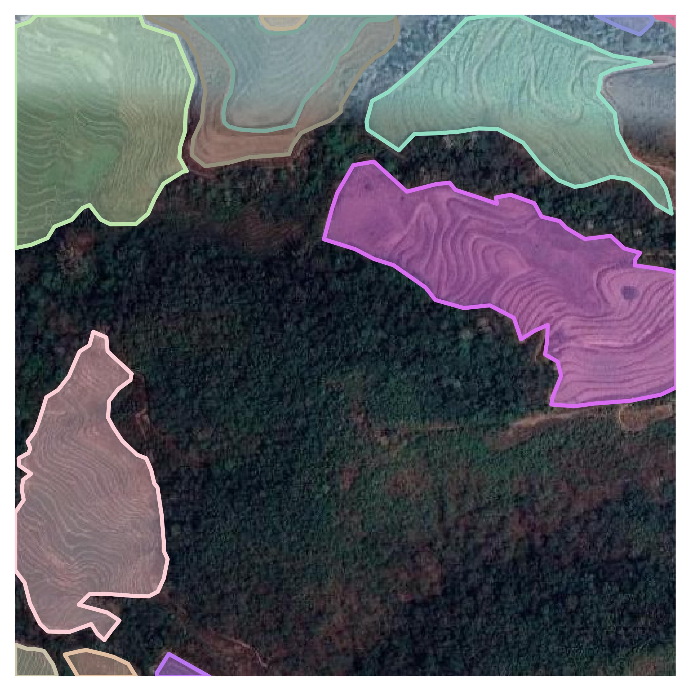
This repo. has two key scripts to convert or visualize. If you need customize your own georaster dataset to MS-COCO format.
The class geo2cocoConvertor should be initialized firstly by following parameters:
-
dst_root: the dataset root, in which the internal structure is:
$\qquad$ |---root
$\qquad$ |---images
$\qquad$ |$\qquad$ |—00001.png
$\qquad$ |$\qquad$ |—00002.png
$\qquad$ |$\qquad$ |— ...
$\qquad$ |—annotations.json -
clip_size: to crop the raster image and relating vector to patch. Defaual isNonewhich means DO NOT clip. -
clip_stride: Available ifclip_sizeis notNone. Controls the shifting stride of the window to clip. -
suffix: The suffix of the output raster patch, defaul as'jpg' -
prefix: The prefix of the ouput raster files, defual as''
To visualize the dataset, and the demo is listed:
 |
 |
 |
 |
 |
 |
 |
 |
 |
 |
 |
 |
 |
 |
 |
Enrich.