This repository contains a robot state estimation using factor graphs. The demo consists of a simple robot that moves in a 2D space. It is equipped with sensors for odometry and localization.
The robot is controlled using a differential drive system, implemented with the Navigation2 stack. The state estimation is done using the GTSAM library. For comparison, the AMCL (Adaptive Monte Carlo Localization) localization node is also used. The simulation is done in Gazebo.
The project is divided into two packages:
robot_simulation: contains the xacro definition files of the robot, the AMCL localization, and navigation node launch files, and the Gazebo world files.state_estimation: contains the GTSAM state estimation node.
The robot is equipped with a lidar, an IMU (Inertial Measurement Unit), and wheel encoders. An EKF (Extended Kalman Filter) from the robot_localization package is used to fuse the odometry and IMU data to estimate the robot's pose.
The data collected from the lidar and the odometry sensors is used by the AMCL node to localize the robot in the environment. The AMCL node subscribes to the laser scan data (/scan) and the non-filtered odometry data (/diff_cont/odom) and publishes the estimated pose of the robot (/amcl_pose).
The robot is controlled using the Navigation2 stack. The diff_drive_controller is used to control the robot's velocity. The nav2_controller is used to navigate the robot to a goal position.
The description of the robot is defined in the description directory. The launch directory contains the launch files for the simulation and the localization node. The maps directory contains the map of the environment. The worlds directory contains the Gazebo world files. Configuration files are stored in the config directory.
The state_estimation package contains a custom node that uses the GTSAM library to perform robot position estimation. The node subscribes to pose (/amcl_pose) and odometry (/odometry/filtered) topics, processes the data using GTSAM's factor graphs and optimization algorithms, and then publishes the pose estimate (/gtsam_pose).
To run the simulation, you will need to have Docker installed on your machine. The project was developed using Docker version 26.1.1.
-
Clone the repository:
git clone [email protected]:ikajdan/ros_differential_robot_simulation.git
-
Build the Docker image:
./build.sh
-
Run the container:
./run.sh
-
Build the workspace:
colcon build --symlink-install
To run the simulation, follow these steps:
-
Source the workspace:
source ./install/setup.bash -
Launch the simulation:
ros2 launch robot_simulation sim.launch.py world:=./src/robot_simulation/worlds/main.world gui:=false
Note
The initial startup of the simulation may take a while.
Tip
To visualize the Gazebo simulation, omit the gui:=false argument.
-
Launch the AMCL localization node:
ros2 launch robot_simulation localization.launch.py map:=./src/robot_simulation/maps/main.yaml
-
Launch the GTSAM state estimation node:
ros2 run state_estimation state_estimation
-
(Optional) Run the navigation node:
ros2 launch robot_simulation navigation.launch.py
-
Launch the RViz visualization tool:
ros2 run rviz2 rviz2 -d ./src/robot_simulation/config/view_main.rviz --ros-args -p use_sim_time:=true
-
Set the initial pose of the robot in RViz.
Note
Make sure to set the fixed frame to map in RViz.
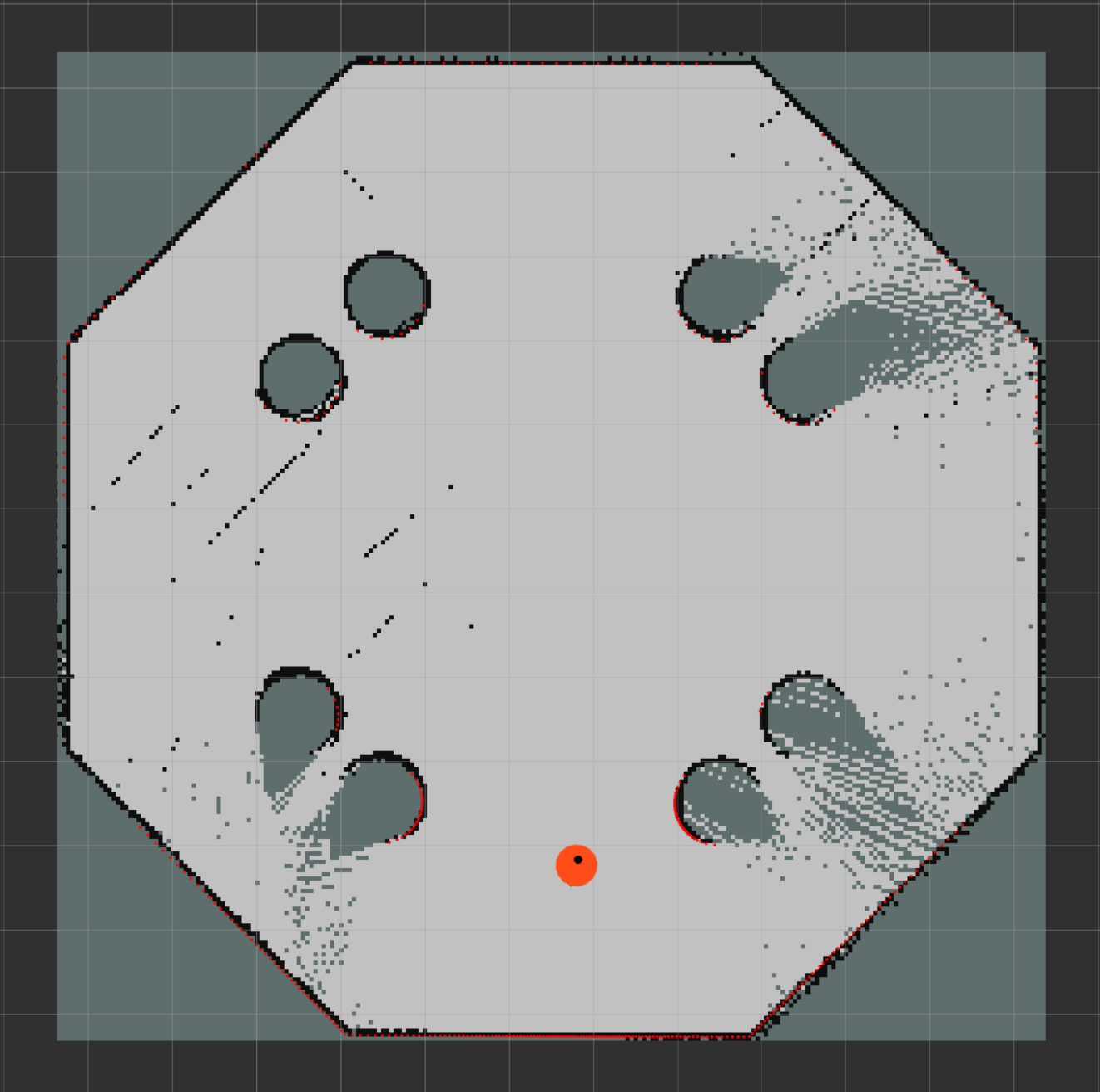
To create a map of the environment, use the slam_toolbox package:
ros2 launch robot_simulation slam.launch.py
ros2 run rviz2 rviz2 -d ./src/robot_simulation/config/view_map.rviz --ros-args -p use_sim_time:=true
This will launch the slam_toolbox node and RViz. Use the teleop_twist_keyboard package to move the robot around the environment and create the map:
ros2 run teleop_twist_keyboard teleop_twist_keyboard --ros-args -r /cmd_vel:=/diff_cont/cmd_vel_unstampedOnce the map is created, save it using the dialog in RViz to the maps directory. The generated map will be saved in the pgm and yaml format.
The wast majority of the robot simulation code is based on the Building a Mobile Robot tutorial made by Articulated Robotics.
The code for the GTSAM state estimation node is based on the following tutorial: Factor Graphs and GTSAM.
Other resources used in the development of this project include:
- https://automaticaddison.com/sensor-fusion-using-the-robot-localization-package-ros-2/
- https://classic.gazebosim.org/tutorials?tut=ros_gzplugins
- https://navigation.ros.org/setup_guides/sensors/setup_sensors.html
This repository is licensed under the MIT License - see the LICENSE file for details.


