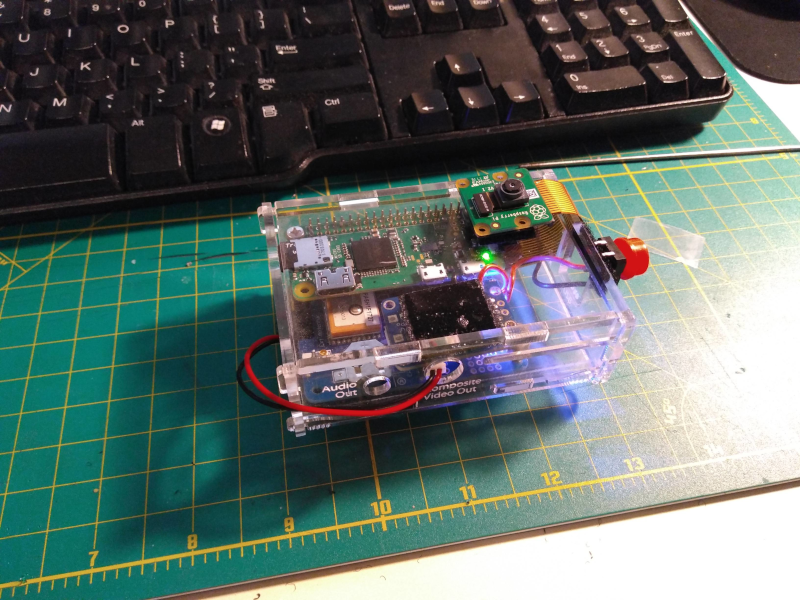
Bike Lane Report automates recording, geolocating and tweeting about vehicles parked in the bike lane. It runs on a Raspberry Pi Zero W with a GPS shield and PiCamera.
A Twitter account is setup with API keys from https://developer.twitter.com/
Included files are: button.py tweet.js config.js (ignored since it includes Twitter API keys)
button.py checks for input on GPIO 24 When button on GPIO 24 is pressed, it takes a photo with PiCamera and saves it to /tmp/tweet.jpg tweet.js runs, checks gps coordinates using GPS.js library and saves them to variable as Google Maps link twitter library uploads the image from /tmp/tweet.jpg and adds the Google Maps link.
This is what a tweet looks like.

