Extract and visualize airport data (ex: runway geocoordinates) from OpenStreetMap with Python tools
Airport data are extracted with OSMnx, stored as graphs or GeoPandas](http://geopandas.org/) dataframes, and visualized with Matplotlib.
The map background to check data is built with contextily
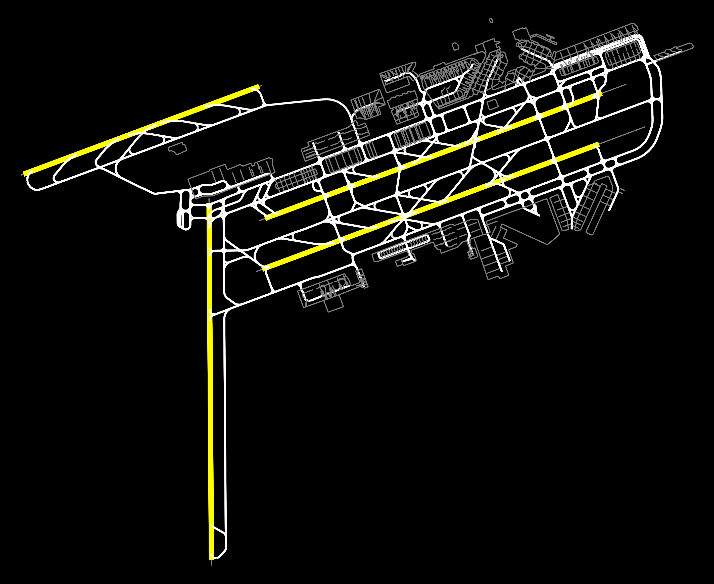
Example 1: visualize all Amsterdam Schipol airport elements
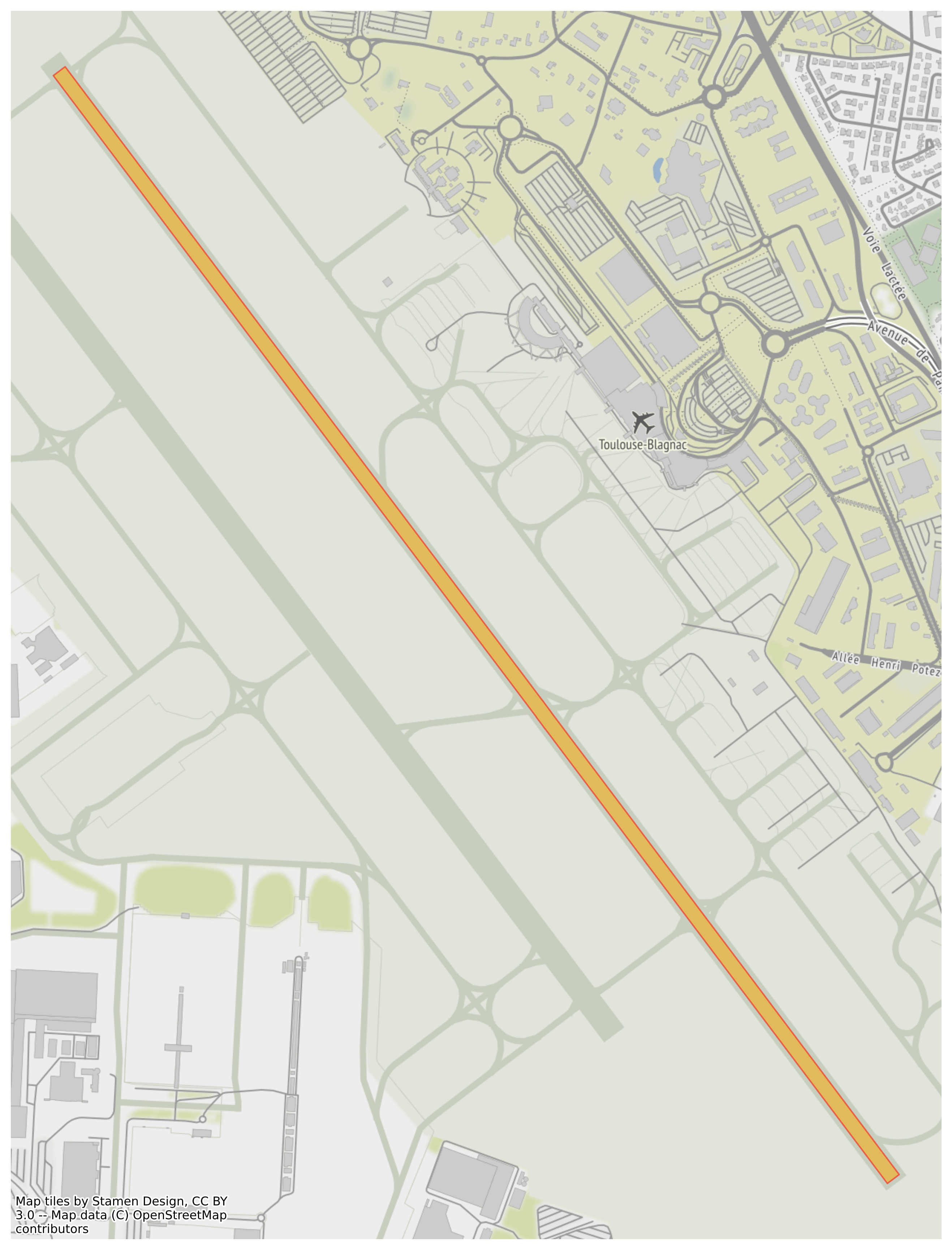
Example 2: extract airport data and visualize a runway on top of background map
Run the following notebooks to load and visualize air traffic data:
-
demo_eddf: notebook to load and visualize airport data from EDDF airport
-
demo_airport_runway: notebook to load all data related to an airport, extract runway information as geodataframe and visualize on top of a background map to check data
-
demo_top_European_airports (deprecated): notebook to load data from main European airports and plot them as maps
Run the
-
OSMnx - Python package to download geospatial data from OpenStreetMap
-
GeoPandas - Open source project which extends the datatypes used by pandas to allow spatial operations on geometric types.
-
contextily - Context geo-tiles in Python
-
Matplotlib - Comprehensive library for creating static, animated, and interactive visualizations in Python
- Thomas Dubot
This project is licensed under the MIT License - see the LICENSE.md file for details
Thanks to all OpenStreetMap contributors: https://www.openstreetmap.org/

