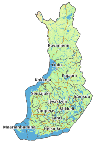
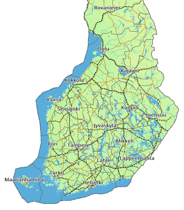
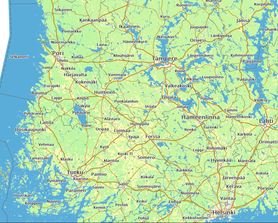
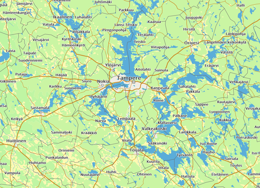
This is a work in progress and might stay as such for quite a while, but might be useful starting point at least if you need to setup GeoServer with data from National Land Survey of Finland (Maanmittauslaitos / MML in Finnish).
Currently data is imported and styled to zoom in up to 1:545k scale, after that need to switch to Maastotietokanta which is not even started and requires to most amount of work in picking the relevant data and defining the styles.


This has been developed on Ubuntu which I use for development so some dependencies are probably missing due to them already existing in my dev env. Java for one is obviously needed for GeoServer. I've used Java 8 when writing these.
sudo apt-get install postgresql postgis curl wget jq gdal-bin xmlstarletCreate a user and a database
sudo su - postgres -c "createuser mapuser -PE"
sudo su - postgres -c "createdb -O mapuser finland"
sudo su - postgres -c "echo CREATE extension IF NOT EXISTS postgis|psql finland"wget http://sourceforge.net/projects/geoserver/files/GeoServer/2.16.0/geoserver-2.16.0-bin.zip
unzip geoserver-2.16.0-bin.zip
ln -s geoserver-2.16.0 geoserver
cp fonts/* geoserver/data_dir/styles/
GEOSERVER_HOME="$(pwd)/geoserver" geoserver/bin/startup.shData import is done a bunch of scripts. Scripts are configured with values defined in config and you need to change at least DATABASE_PASSWORD.
./scripts/data/get_paikannimet.sh
./scripts/data/get_yleiskartta.sh
./scripts/data/get_digiroad.sh
Import scripts do not necessarily import all available data but just those that I've found useful for this particular map. See the scripts if you wish to have more data imported. New styles for GeoServer are of course needed to have the data visible. Also, create indices for columns which are used for filtering with ogc:Filter in the styles.
./scripts/data/import_paikannimet.sh
./scripts/data/import_yleiskartta.shThe currently existing scripts for layer configrations are in scripts/geoserver and they're numbered in order of execution. Helper ./scripts/geoserver/run_all.sh run them all, but do not that it deletes existing workspaces and styles so please don't run it against your production GeoServer.
- Go to http://localhost:8080/geoserver/
- Login with GeoServer default credentials
admin/geoserver - Go to Layer Preview
- Look for Finland and click open the OpenLayers preview
- Zoom and see how it works
Styles are defined in folders per data source. Some of the styles are same on different layers but with different scale denominators. This is to allow control over the stacking order of the layers for each layer group. For example. road network source data is the same for each layer but if defined on the 8000k layer group only the road network might not be visible when zooming in because new sources are drawn on top of it.
Defined layers are:
- 500k - 2000k
- 2000k - 4000k
- 4000k - 8000k
- 8000k -
- Create the last zoom levels from maastotietokanta
- European road numbers from Digiroad
- Convert styles to YSLD and use the YSLD extension
- Airport icons (lentokenttapiste is imported but not used now)
- Import only needed types for smaller DB size
- Maybe check if maastokartta is enough? It is made from maastotietokanta after all.